Breaking the Memory Wall: Fully Distributed Bundle Adjustment at Million-Image Scale (IJCV)
In June 2025, ICE CYPRESS, in collaboration with a leading university research…
Fortify the 3D Foundation with Independent Technologies, Drive Industry Transformation via Intelligent Solutions, and Make Low-Altitude Space More Efficient, Secure, and Smart.
Spatial 3D+AI End-to-End Solutions, Empowering Industry Digital Upgrade
Fortify the 3D Foundation with Independent Technologies, Drive Industry Transformation via Intelligent Solutions, and Make Low-Altitude Space More Efficient, Secure, and Smart.

Full core tech ownership, compliant and innovative.

Sub-centimeter accuracy for large-scale digital twins.

AI-integrated workflows for data-driven efficiency.

Tailored solutions for military & civilian use.

IceCypress specializes in spatial 3D and AI, building a 3D digital base with independent core technologies. Our exclusive products outperform global peers, achieving localized innovation breakthroughs. Fusing multi-source low-altitude data with 3D + AI, we offer end-to-end solutions to power the intelligent advancement of the low-altitude economy worldwide.

Edge-intelligent UAV cluster system, enabling multi-UAV collaboration, real-time reconstruction and precise positioning.

Accurate motion trajectory capture, intelligent target posture analysis, empowering high-dynamic scenario decision-making.

Lightweight data acquisition + centimeter-level accuracy, 8-minute rapid reconstruction, restoring real-scene details.

Urban-scale full-domain modeling, multi-source data fusion, delivering survey-grade high-precision 3D results.

Pipeline inspection, mine operation & maintenance – high-precision modeling safeguards asset safety.

Rapid disaster-site modeling, situational awareness – supporting scientific decision-making & rescue.

Urban surveying, illegal construction inspection – high-precision modeling enables compliant governance.
Leverage our drone and spatial intelligence technologies to unlock efficiency and innovation for your business.
Powered by DroneSwarm, real-time 2D/3D modeling + AI target location addresses tight rescue timelines, supporting visual decision-making.
Mine digital twin integrated with Mirauge3D GIS models and AI/IoT enables safe, efficient operations via data-driven insights.
Air-land-sea perception network + AI-driven closed-loop management upgrades pipeline inspection to intelligent digital operations.
AI-powered illegal detection based on digital twins builds an efficient closed-loop supervision platform, enhancing governance accuracy.
Digital twin + GIS/AI visualizes real-time water data, enabling intelligent early warning and efficient full-link operations.

We used Mirauge3D to process 440,000 images for 27km² 3D reality modeling in Shantou’s planning. It maintained an ultra-high aerial triangulation success rate amid complex scenarios (weak texture, large elevation differences, narrow strips, few GCPs), meeting requirements flawlessly.

Mirauge3D (oblique photography tool) excels in stability, success rate and precision. It resolves industry pain points (fractures, layering, bending, edge matching) in large-area modeling, simplifies workflows, reduces complexity, and boosts efficiency significantly.


Lorem ipsum dolor sit amet, consectetur adipiscing elit. Ut elit tellus, luctus nec ullamcorper mattis, pulvinar dapibus.
In June 2025, ICE CYPRESS, in collaboration with a leading university research…
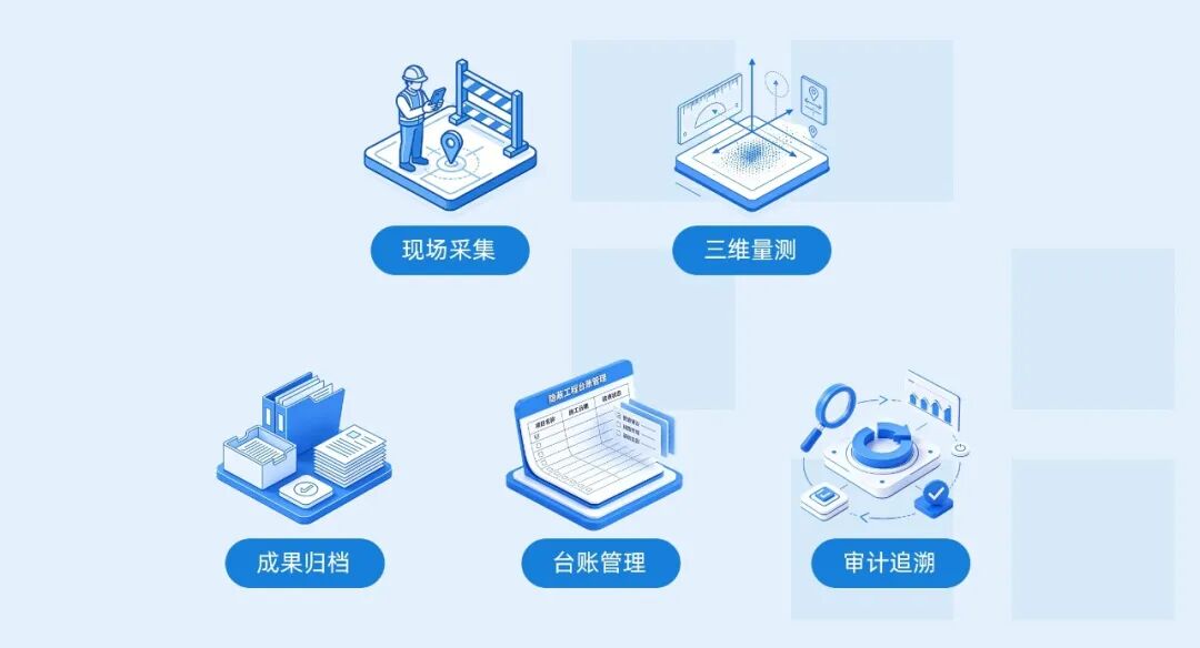
In road construction, concealed works are often the aspects that require the…
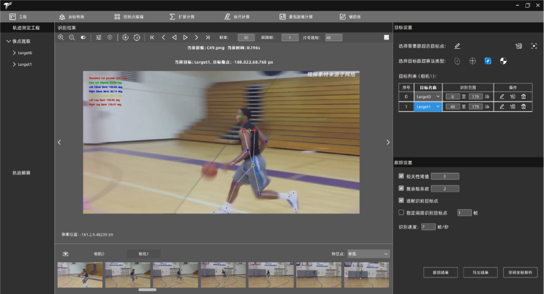
In the realm of competitive sports, especially in sprint events, every start,…
Tell us about your project or inquiry, and our team will get back to you within 24 hours.
Follow Us :
Let’s discuss how our smart solutions can drive your business forward. Our team is ready to provide tailored technical and business support.


Excellence in Provider of Spatial Intelligence Products & Solutions
Copyright © 2026 Ice Cypress All rights reserved