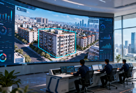
Visual spatial intelligence for real-world applications

Advancing Visual Spatial Intelligence Through 3D, AI and UAV Technologies

0

Years of R&D Experience

0 %

of Our Team in R&D

0 %

Annual Growth Rate

About Us

From 3D Reconstruction to Visual Spatial Intelligence

ICE CYPRESS was founded in 2016 by Dr. Junfeng Zhu and a team with backgrounds in remote sensing at Wuhan University, initially focusing on automated 3D reconstruction.

The team developed Mirauge3D as one of the company’s core technologies for large-scale 3D modeling. Over the years, ICE CYPRESS has expanded its capabilities from photogrammetry and 3D reconstruction into spatial AI, real-time UAV intelligence and visual motion analysis.

Today, our technologies connect data capture, processing, reconstruction and analysis across mapping, infrastructure, emergency response and other professional applications.

Research-led team, in-house R&D

Our R&D team brings together specialists with backgrounds in remote sensing and information engineering from Wuhan University, with Prof. Zhang Zuxun, Member of the Chinese Academy of Engineering, serving as Chief Scientist. Building on this expertise, ICE CYPRESS has developed a technology portfolio spanning 3D reconstruction, spatial AI, multi-UAV intelligence and visual analysis, supported by core technologies and intellectual property developed in-house.

Technology across diverse applications

ICE CYPRESS technologies support a wide range of operational environments, including mapping, infrastructure inspection, emergency response, urban management and other mission-critical applications. Our systems can be configured around different project requirements, data sources and deployment environments, helping customers move from spatial data collection to analysis and operational use.

Collaboration Across Technology and Industry

ICE CYPRESS has collaborated with technology and industry partners including Huawei, Alibaba Cloud and CETC, and has participated in national and provincial research and application projects in China. These collaborations have supported the development and deployment of spatial intelligence technologies across a range of real-world applications.

What drives ICE CYPRESS ?

Why IceCypress

Our mission, vision and values

icon
Corporate Mission

Advance visual spatial intelligence through 3D, AI and UAV technologies, helping organizations better understand and operate in the physical world.

icon
Corporate Vision

To become a trusted global technology company in visual spatial intelligence.

icon
Core Values

Focus · Integrity · Collaboration · Responsibility

Contact Us

Discuss Your Project with Our Team

Share your application, project environment and technical requirements.

Follow Us :