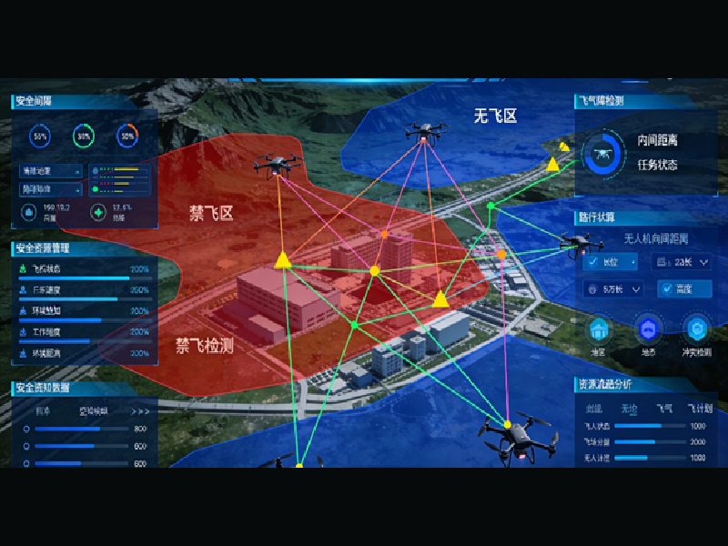
Centered on full-domain awareness, intelligent planning and safety control, we build a sky-based “traffic light, controller and navigation map” with real-scene 3D, air-ground integration and intelligent connectivity. This forms a robust digital foundation for the low-altitude economy, supporting scalable, commercial urban low-altitude operations with end-to-end capabilities.
99.9%+ aerial triangulation success rate, sparse control point-assisted adjustment, effortlessly handles complex/massive data scenarios.
26x faster than traditional algorithms, 20-minute bundle adjustment for 13,682 images, single calculation for millions of data.
Full support for diverse inputs: satellite images, aerial photography, UAV data, mobile shots, laser/structured light scanning.
Adaptive matching for weak texture areas, combined LiDAR point cloud modeling, superior detail restoration.
Works with global mainstream OS & hardware, outputs international standard results (DEM, DSM, DOM, TDOM).
One-click auto-classification, smart mosaic line optimization, reduces expertise requirements & boosts efficiency.
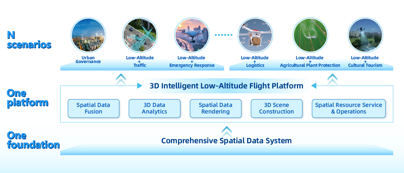
Built on a comprehensive spatial data system, we integrate full-spectrum data including remote sensing images, real-scene 3D models and airspace data. Leveraging an air-ground integrated geospatial service platform, we deliver core capabilities such as data fusion, 3D analysis & rendering and scenario construction to build a unified regional low-altitude operation map.
This architecture fully supports the deployment of diverse scenarios including urban management, low-altitude traffic, emergency rescue, logistics, agricultural plant protection and cultural tourism, forming the holistic “1 Foundation + 1 Platform + N Scenarios” intelligent governance system for low-altitude economy.

It integrates remote sensing images, real‑scene 3D models, airspace data, IoT sensing data and business data, realizing one‑time collection and multi‑party reuse to reduce redundant construction.
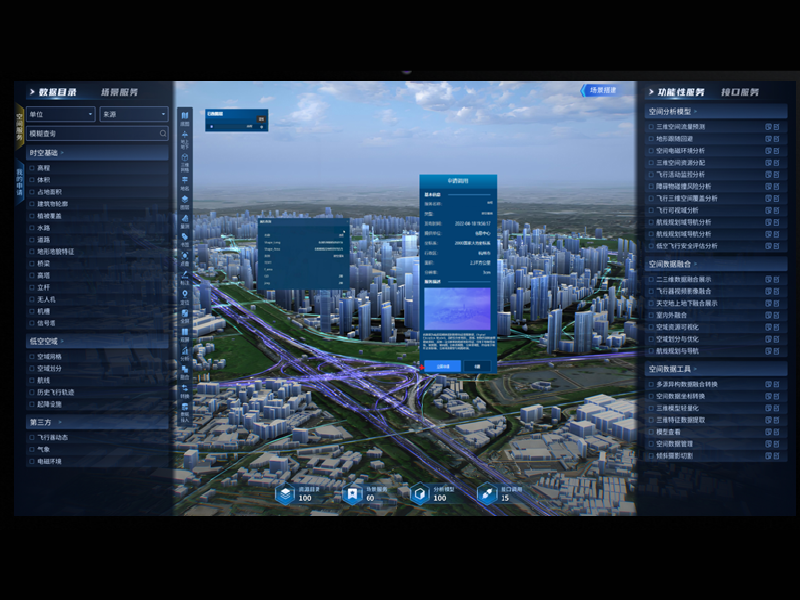
It establishes a regional low‑altitude “one map” to achieve single‑screen overview and collaborative management of airspace, routes, flight status, landing sites and risk information.
It supports rapid implementation of urban governance, emergency rescue, logistics, modern agriculture and tourism, enabling continuous iteration and scalable capabilities.

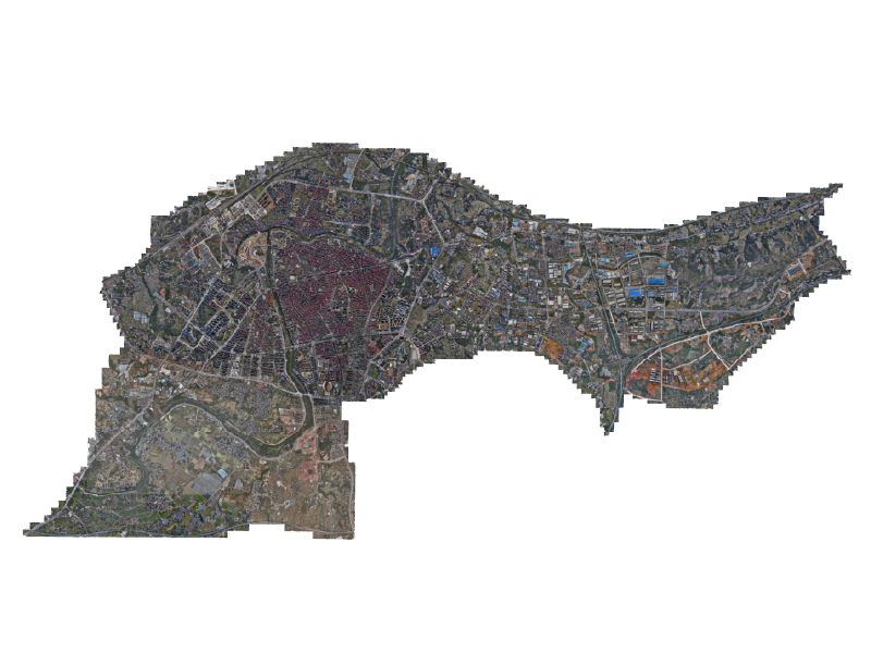
Built on 0.3‑m high‑resolution remote sensing images and 3‑cm real‑scene 3D data, it constructs a full‑coverage high‑precision digital foundation for low‑altitude spatial scenarios. By integrating key features including terrain, buildings, bridges, high‑voltage power lines, communication towers, airports/landing sites and airspace designations, it enables object‑oriented, tagged and full‑lifecycle data management, delivering reliable support for route planning, safety assessment and operational guarantee.
Centered on the 3D Intelligent Platform for Low-Altitude Flight, it deeply integrates BIM, GIS and IoT to build a 4D spatiotemporal situation map. It provides core capabilities including spatial data governance, 3D visualization, airspace planning, intelligent route planning, flight monitoring, risk early warning and low-code scenario development. It enables the “aerial traffic lights, traffic police and navigation map” and forms a unified support platform for regional low-altitude operations.


Multi-Format Compatibility: Supports multiple point cloud formats (las, txt, ply, xyz, etc.), enabling fast loading & saving to flexibly meet data processing needs.

Dual-Mode Intelligent Classification: One-click auto-classification (90% accuracy, supports custom parameters); supervised classification with random forest algorithm, allowing custom category training (over 80% accuracy) and trainable model parameter reuse.

Professional Editing Tools: Dual-window synchronous viewing, custom coloring, TIN/Delaunay triangulation generation & quick selection, intuitively displaying terrain & data details; processed DEM can be directly imported for orthophoto production.

It is not a single data output or point solution, but a productized platform tailored for regional low-altitude development, reducing secondary development costs and enabling rapid project deployment.
Supports priority deployment in key areas and early piloting of typical scenarios, with gradual expansion to full coverage. This lowers entry barriers, shortens time-to-value, and enables agile iteration and upgrades.
Standardized solutions built around core scenarios (governance, emergency response, logistics, etc.) can be quickly adapted to different regional needs, enabling large-scale deployment.
Full-cycle support including data updates, platform maintenance, and security assurance, with 7×24 professional operations to ensure long-term stability and sustained value realization.

Illegal construction inspection, riverway monitoring, municipal/power facility inspection, and 7×24 intelligent protection for key areas.

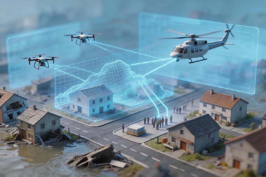
Rapid disaster modeling, optimal rescue route planning, multi-drone coordinated search and rescue, and priority emergency airspace access, overcoming ground transportation constraints.

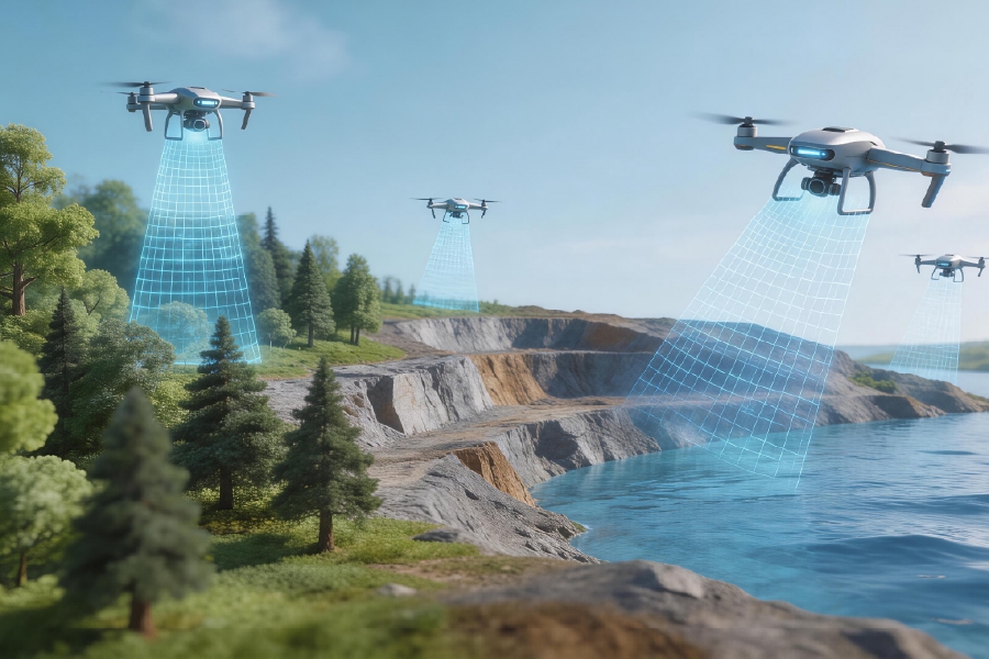
Full-area 3D patrol monitoring of ecological conditions in forests, mines, water bodies, with AI-powered anomaly analysis and precise prevention.

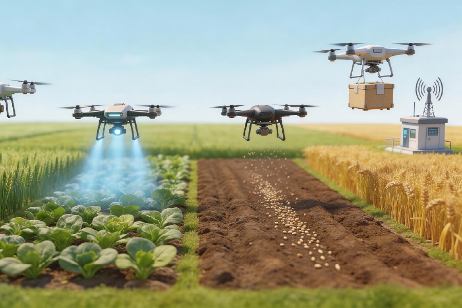
Precision farmland inspection, crop protection operations, seeding and fertilization, and agricultural product logistics, driving smart agriculture upgrading.
Tell us about your project or inquiry, and our team will get back to you within 24 hours.
Follow Us :

Excellence in Provider of Spatial Intelligence Products & Solutions
Copyright © 2026 Ice Cypress All rights reserved