

Exploring Drone Situational Awareness Platforms: Architecture and Key Selection Considerations
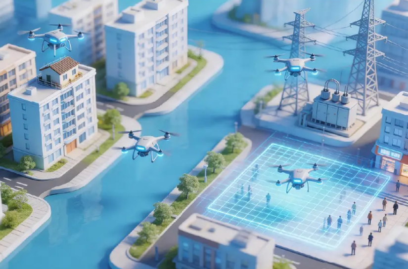
Organizations evaluating a drone situational awareness platform should examine six areas: platform architecture, real-scene 3D environment, air-ground integration, mission planning, safety support, and practical applications. At Icecypress Technology, these areas provide a clearer structure for explaining the Low-Altitude 3D Intelligent Operations Platform without relying on broad claims about the entire low-altitude economy. Understanding the Role […]
Building Smarter Urban Futures with a Low-Altitude Integrated City Management Platform
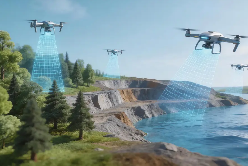
Urban low-altitude management requires a clear digital view of aerial data, real-scene 3D environments, and air-ground operations. ICE CYPRESS should be introduced through confirmed capabilities such as 3D city visualization, low-altitude data integration, operational monitoring, and coordinated management rather than broad claims about every future urban industry. The Role of Smart City Management Systems in […]
3D Motion Analysis in Biomechanics Research: Applications for Movement Measurement and Research Validation
Biomechanics research requires accurate motion capture and quantitative analysis to study complex movement and deformation. Traditional visual observation and manual measurement may limit repeatability in high-speed or small-scale motion studies. Movement analysis tools can provide position, orientation, contour, and time-based data for research measurement and validation workflows. The Role of Motion Analysis in Biomechanics Research […]
Motion Tracking Software and Motion Analysis Software: Understanding Their Roles in Advanced Applications
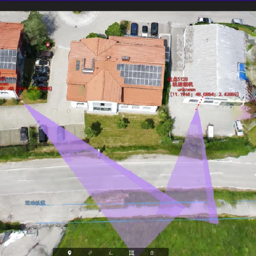
Accurate movement measurement has become increasingly important across industries such as aerospace, advanced manufacturing, robotics, and biomechanics. As organizations pursue higher precision and smarter testing methods, understanding the difference between motion tracking software and motion analysis software is essential. We recognize that capturing movement is only the first step. Turning motion data into meaningful insights […]
Drones and Total Stations in Crash Scene Reconstruction: When to Use Each
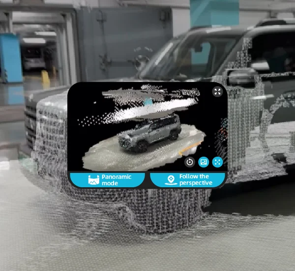
Crash scene reconstruction can use different data-capture tools according to site conditions, required accuracy, available time, and team workflow. Total stations provide controlled point measurements, while drones can capture broad visual coverage for 3D reconstruction. The two methods may be used separately or together, depending on the investigation requirement. The Shift from Total Stations to […]
Transforming Crash Scene Investigations with Advanced Forensic 3D Reconstruction Technology
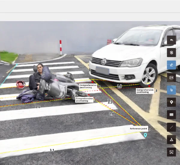
Crash scene reconstruction requires a practical workflow for capturing and reviewing spatial information. Rusa supports rapid field data capture, minute-level preview, high-accuracy reconstruction, and digital measurement. A 3D scene reconstruction workflow can help teams preserve a digital record of scene conditions for later measurement and review. The Growing Need for Digital Tools in Crash Scene […]
Advancing Search and Rescue Efficiency with UAV-Based Target Tracking Technology
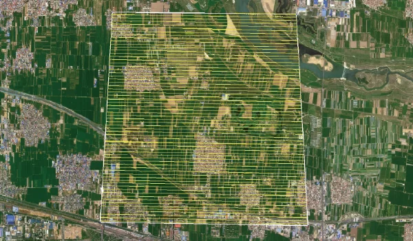
Search and rescue operations often take place in unpredictable environments where time, accuracy, and situational awareness determine mission success. Whether responding to natural disasters, missing person incidents, or emergency security situations, rescue teams need technologies that can quickly collect information and identify targets in complex landscapes. With the development of unmanned aerial vehicles (UAVs), intelligent […]
Real-Time Object Tracking on UAVs: Exploring Hardware, Software, and Practical Challenges
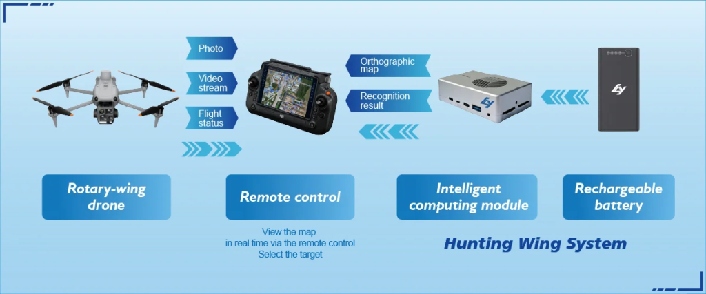
Unmanned aerial vehicles (UAVs) are transforming how industries collect information, monitor environments, and respond to complex operational challenges. From emergency response and public safety to infrastructure inspection and environmental monitoring, organizations increasingly require drones that can not only capture images but also understand and analyze what they observe. Real-time object tracking has become a key […]
Understanding Accuracy in UAV Mapping, Aircraft Positioning, and Target Location
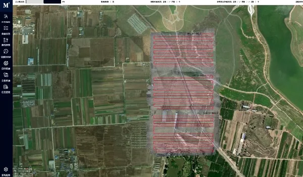
Accuracy in UAV workflows can refer to several different metrics: aircraft positioning accuracy, mapping-result accuracy, reconstructed-model measurement accuracy, or target-positioning accuracy. These values should not be treated as interchangeable.UAV tracking focuses on monitoring aircraft location and mission status, while other accuracy claims must be tied to the relevant method, data product, and test conditions. Why […]
How GPS, RTK, and GNSS Technologies Enable Advanced UAV Tracking and Positioning
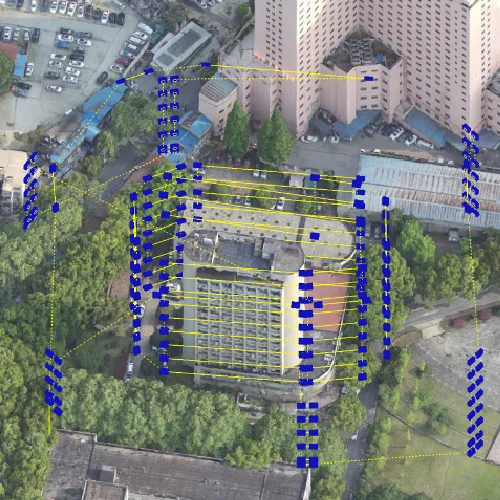
The increasing adoption of drones across industries has transformed the way organizations collect data, monitor environments, and execute complex missions. From surveying and mapping to emergency response and infrastructure inspection, drones require more than flight capability to deliver reliable results. Accurate location awareness, continuous monitoring, and intelligent coordination have become essential. We recognize that advanced […]
