

Application of Mirauge3D Digital Orthophotos in Scientific Monitoring of Nature Reserves
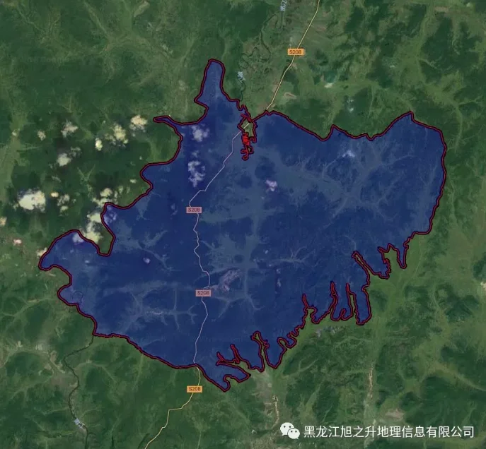
For this reserve data processing, Mirauge3D was used to perform aerial triangulation and produce digital orthophoto maps, effectively solving the problem of aerial triangulation segmentation under conditions of massive data volume, weak texture, and sparse ground control points. The entire aerial triangulation computation was completed in a single project submission, and the orthomosaic module was […]
